 |
| http://images.blitzortung.org/ |
23 Jul 2013
Thunderstorms and Es
Sporadic-E (Es) is an exciting propagation mechanism that allows contacts on the HF and VHF bands out to around 2000km regularly (with multi-hop Es MUCH greater ranges can be covered) in the April-Sept period in the Northern Hemisphere. There is another smaller peak around Dec/Jan too and propagation by Es can occur at others times of year, but much less frequently. Exactly what creates good Es conditions is open to debate still but some believe thunderstorm activity in the troposphere can impact it.
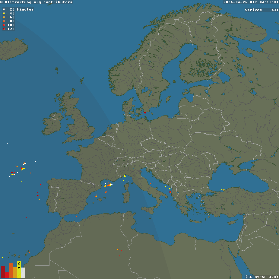
A way of checking on thunderstorm activity is to look at the map at http://www.blitzortung.org/Webpages/index.php?lang=en . Right now there are plenty of thunderstorms over northern Europe with lots over the UK earlier, spreading northwards. Looking at the map one might expect good conditions towards Italy and Greece on Es if whatever rises from the tropo region reaches the E layer mid-path.
Labels:
es,
sporadic-e
Subscribe to:
Post Comments (Atom)


2 comments:
From time to time I have also seen a weak correlation between 6m Es and lightning activity. Looking at the lightning map for NA on any summer day would tend to indicate that the band should be open all the time! Obviously the correlation, if it exists, is somewhat more complicated. I tend to believe more in the high-speed wind shear model as these events are probably rarer, coupled with the numerous times I have heard the band open with a station in mid-sentence, not unlike a switch being suddenly turned to the "on" position! Absolutely fascinating stuff.
Interesting to find out if there is a relation between lightning and sporadic E propagation. Today lots of thunderclouds in the Netherlands. Will have a close look at Es prop
Post a Comment